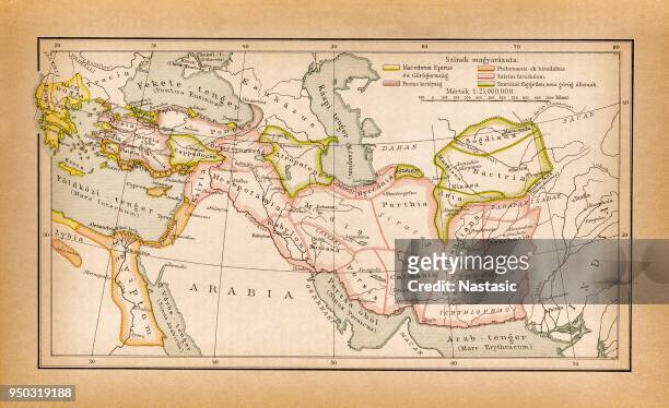
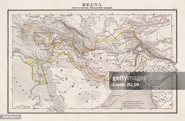
countries of diadochi ( from greek: διάδοχοι, diádokhoi, "successors") were the rival generals, families, and friends of alexander the great who fought for control over his empire after his death in 323 bc - persian empire map stock illustrations
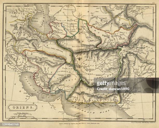
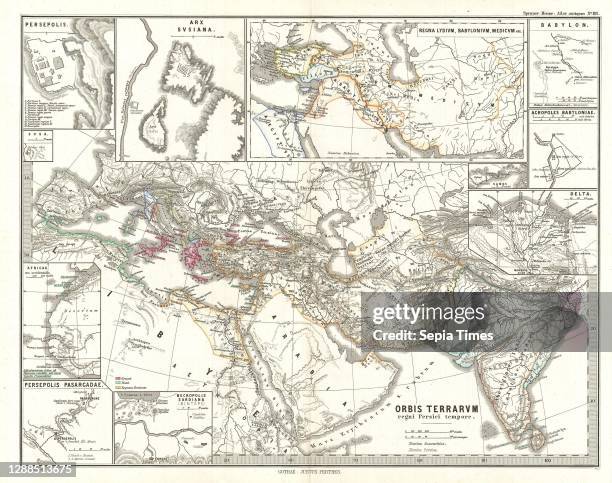
antique map of ancient oriens, the orient, persia, atlas of ancient geography - persian empire map stock illustrations
historical development of the russian empire (15th-19th century), lithograph, 1897 - persian empire map stock illustrations
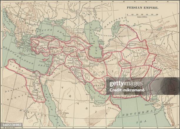
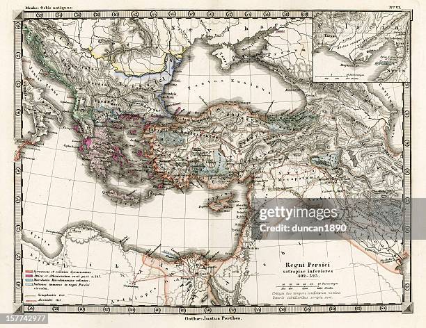
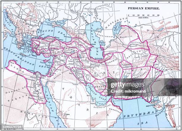
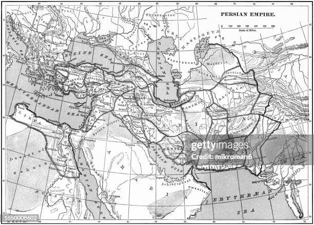
old chromolithograph map of persian empire - persian empire map stock pictures, royalty-free photos & images
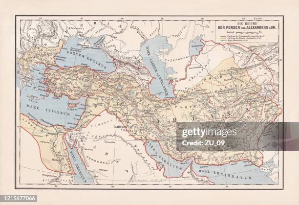
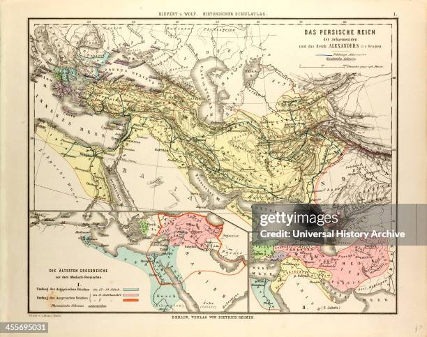
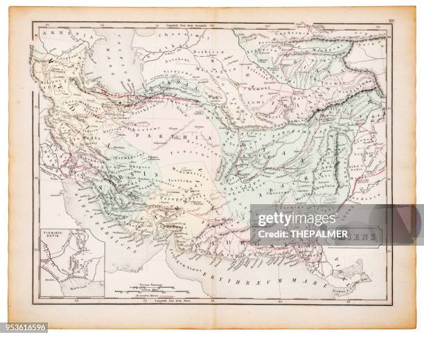
persian empire and empire of alexander the great, lithograph, 1893 - persian empire map stock illustrations
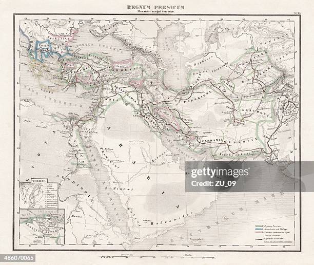
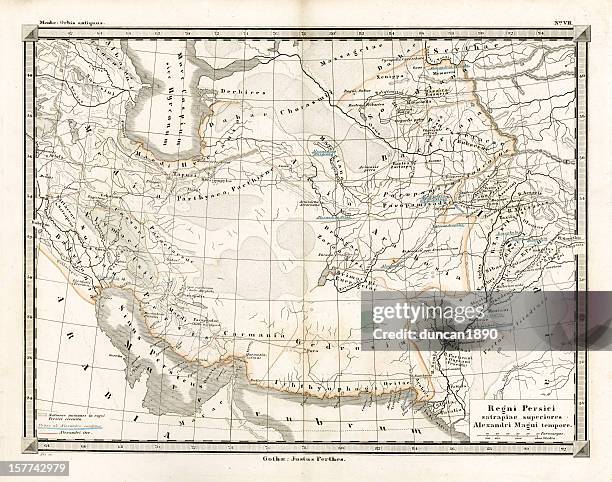
persian empire (c.400 bc), steel engraving, pubolished in 1861 - persian empire map stock illustrations
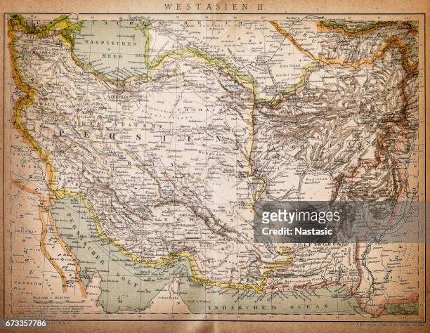
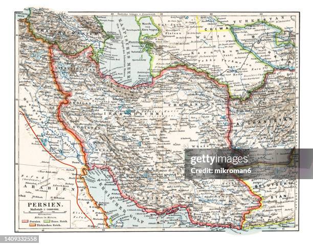
old chromolithograph map of persia (iran), country in western asia - persian empire map stock pictures, royalty-free photos & images
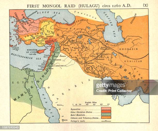
First Mongol Raid , circa 1400 A.D.', circa 1915. Map of civilisations in the Middle East during the early 15th century: Byzantine, other Christian...
old chromolithograph map of persia (iran), country in western asia - persian empire map stock pictures, royalty-free photos & images
Ottoman and Persian, after 1450 A.D.', circa 1915. Map of empires in the Middle East during the 15th-17th centuries: Ottoman Empire at the accession...
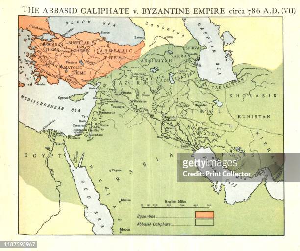
The Abbasid Caliphate v. Byzantine Empire, circa 786 A.D.', circa 1915. Map of civilisations in the Middle East during the 8th century, and also...
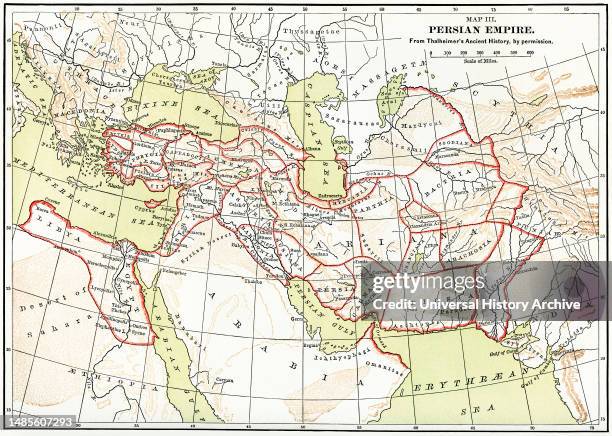
Persian Empire Map, Illustration, Ridpath's History of the World, Volume I, by John Clark Ridpath, LL. D., Merrill & Baker Publishers, New York, 1894.
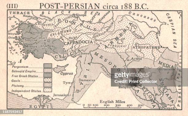
Post-Persian, circa 188 B.C.', circa 1915. Map of the eastern Mediterranean and Near East, showing the ancient empires of Pergamum, Seleucid, Free...
assyria and phersia empire c.500 bc, steel engraving, published 1661 - persian empire map stock illustrations
empire of alexander the great, hand-coloured steel engraving,published 1861 - persian empire map stock illustrations
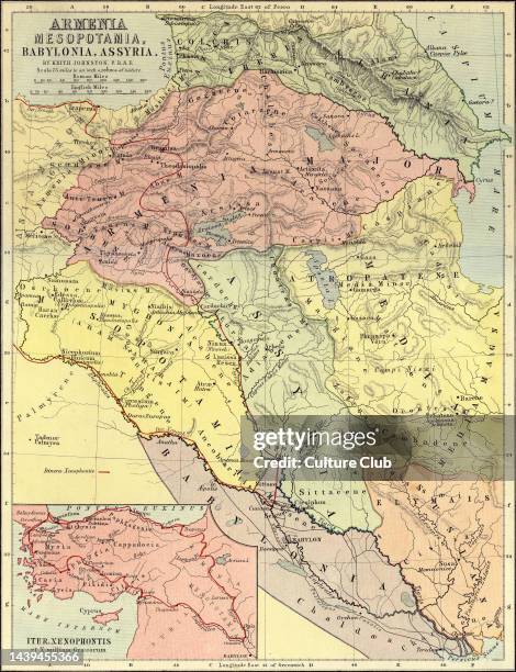
Map of Armenia, Mesopotamia, Babylonia and Assyria, showing the route of Xenophon and the Ten Thousand . Drawn by Keith Johnston F.R.S.E. Published...
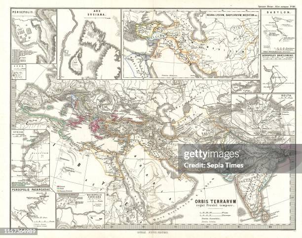
old chromolithograph map of persian empire - persian empire map stock pictures, royalty-free photos & images
Rome v. Persia , circa 300 A.D.', circa 1915. Map of the eastern Mediterranean and Near East, showing the ancient empires of Rome, Persia, and...
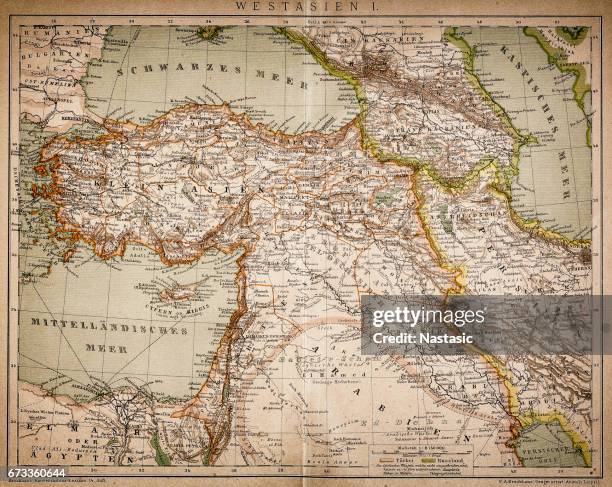
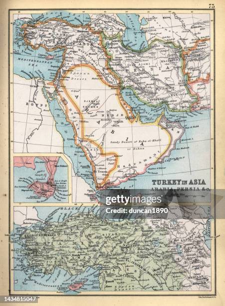
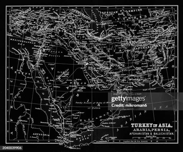
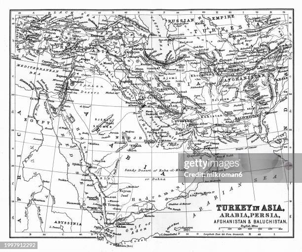
antique map of turkey in asia, ottoman, arabia, persia, detail on aden, 19th century, 1890s - persian empire map stock illustrations
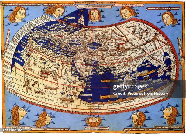
Ge_graphik_ Hyph_g_sis, lit. 'Geographical Guidance'), also known by its Latin names as the Geographia and the Cosmographia, is a gazeteer, an atlas,...
The Persian Royal Road was an ancient highway reorganized and rebuilt by the Persian king Darius the Great of the Achaemenid Empire in the 5th...
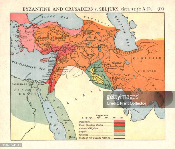
Byzantine and Crusaders v. Seljuks, circa 1130 A.D.', circa 1915. Map of civilisations in the Middle East during the 12th century: Byzantine, other...
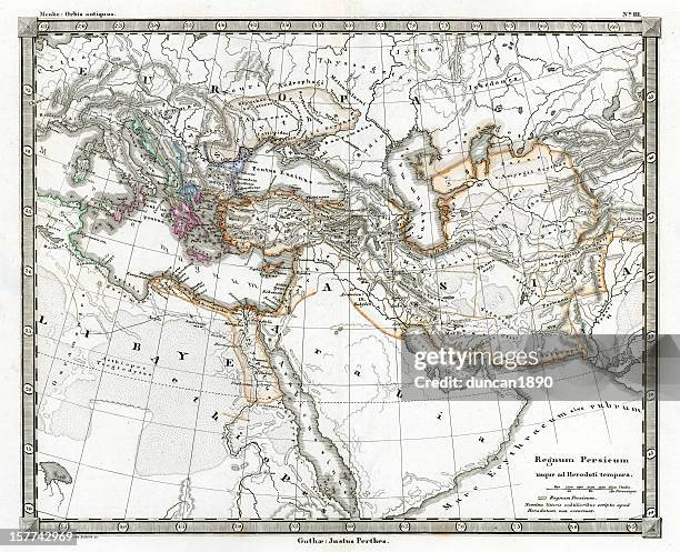
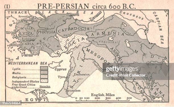
Pre-Persian, circa 600 B.C.', circa 1915. Map of the eastern Mediterranean and near East, showing the ancient civilisations of empires of Lydia,...
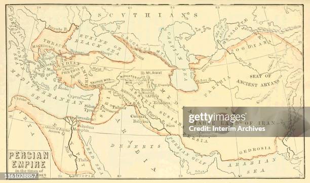
Map, entitled 'Persian Empire in the Time of Darius and Xerxes,' shows territories in Asia and the Middle East, 330s. It appeared in John Quackenbos'...
The Persian Royal Road was an ancient highway reorganized and rebuilt by the Persian king Darius the Great of the Achaemenid Empire in the 5th...
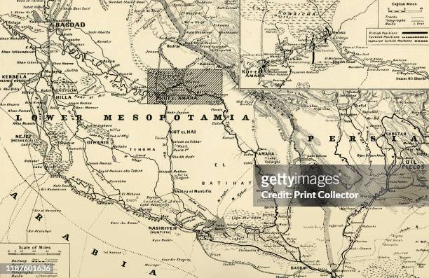
The Hour of Fate on the Tigris', 1916. The Mesopotamian campaign on the Middle Eastern front was fought between the Allies and the Central Powers of...
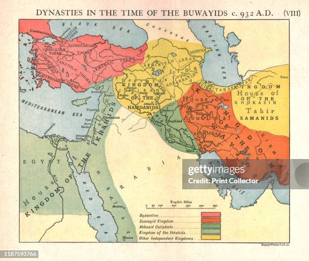
Dynasties in the time of the Buwayids, circa 932 A.D.', circa 1915. Map of civilisations in the Middle East during the 10th century: Byzantine,...
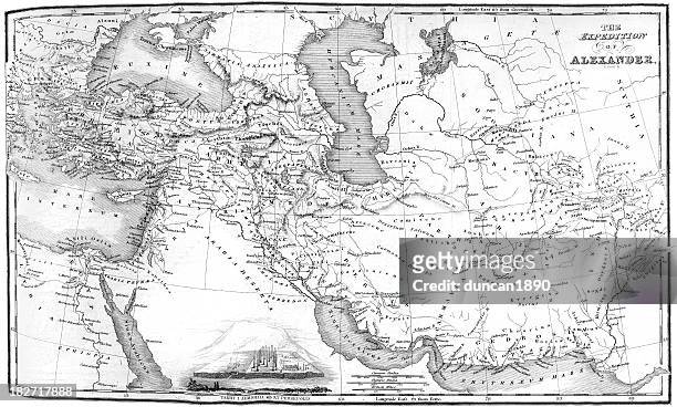
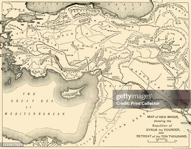
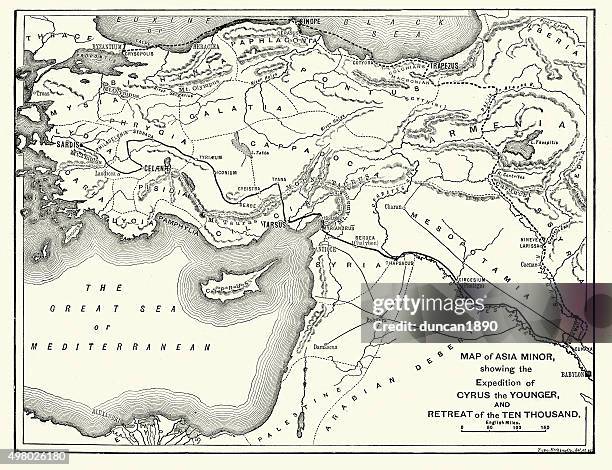
Map of Asia Minor, showing the Expedition of Cyrus the Younger, and Retreat of the Ten Thousand', 1890. The Ten Thousand were a mainly Greek...
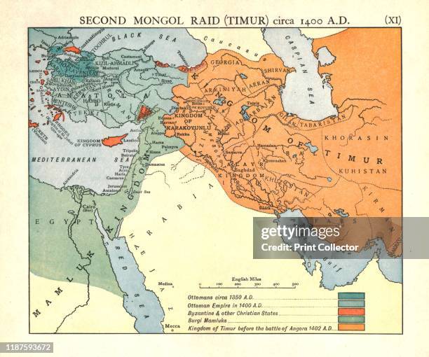
Second Mongol Raid , circa 1450 A.D.', circa 1915. Map of civilisations in the Middle East during the 14th and 15th centuries: Ottomans circa 1350...
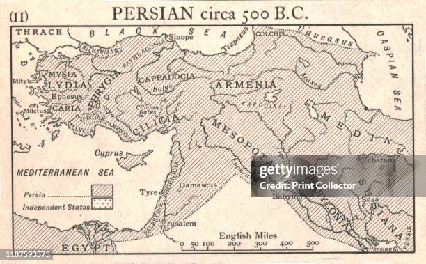
Persian, circa 500 B.C.', circa 1915. Map of the eastern Mediterranean and Near East, showing the ancient Persian empire and Independent States. From...
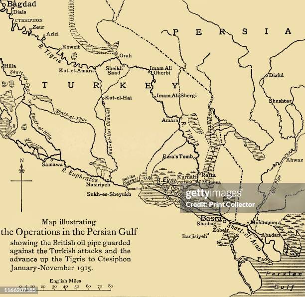
British oil pipeline in the Middle East, First World War . 'Map illustrating the Operations in the Persian Gulf; showing the British oil pipe guarded...
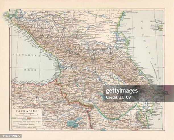
topographic map of the caucasus region, lithograph, published in 1898 - persian empire map stock illustrations
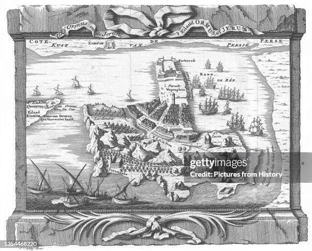
Hormuz Island is an Iranian island in the Persian Gulf. It is located in the Straits of Hormuz and is part of the Hormozg_n Province. It has an area...
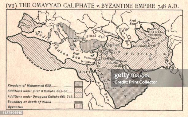
The Omayyad Caliphate v. Byzantine Empire, circa 748 A.D.', circa 1915. Map of the Mediterranean and Near East, showing the Kingdom of Mohammed,...
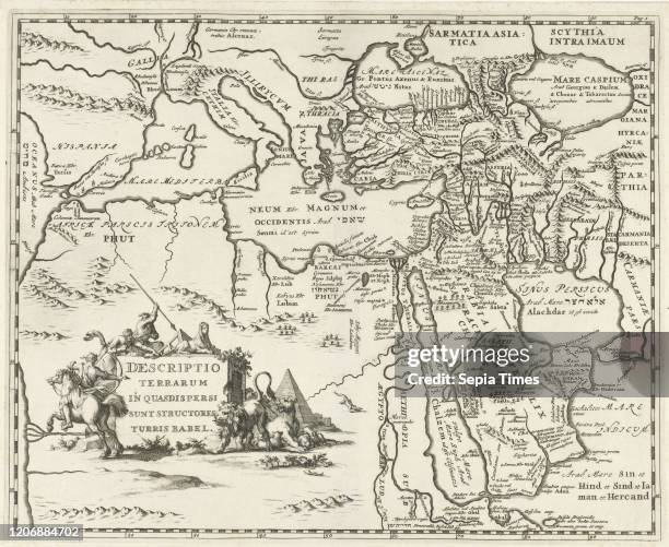
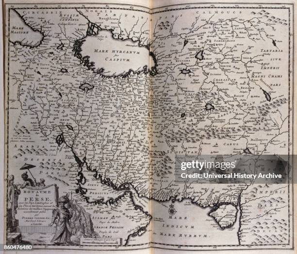
Map of the Persian Empire. 17th century. Illustration from voyages made to Persia and India 1727, by Johan Albrecht de Mandelslo ....
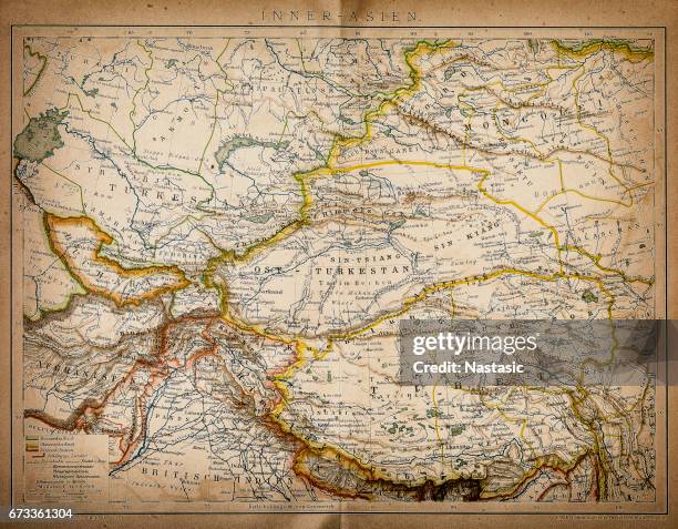
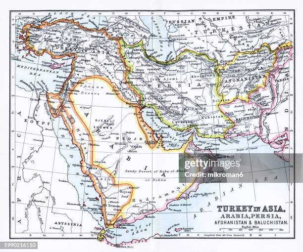
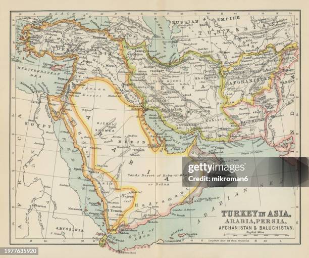
old chromolithograph map of turkey in asia, arabia, persia, afganistan and baluchistan - persian empire map stock pictures, royalty-free photos & images
old chromolithograph map of turkey in asia, arabia, persia, afganistan and baluchistan - persian empire map stock pictures, royalty-free photos & images
old chromolithograph map of turkey in asia, arabia, persia, afganistan and baluchistan - persian empire map stock pictures, royalty-free photos & images
old chromolithograph map of turkey in asia, arabia, persia, afganistan and baluchistan - persian empire map stock pictures, royalty-free photos & images
old chromolithograph map of persian empire - persian empire map stock pictures, royalty-free photos & images
old chromolithograph map of persian empire - persian empire map stock pictures, royalty-free photos & images
old chromolithograph map of persia (iran), country in western asia - persian empire map stock pictures, royalty-free photos & images